|
|
| INSTRUMENT PROCEDURES HANDBOOK |
|
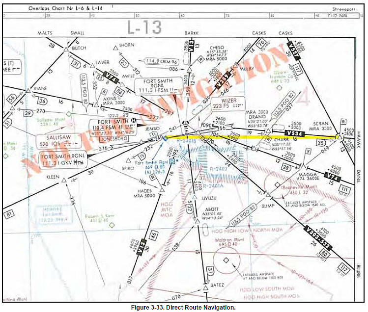
There are a number of ways to create shorter routes and
fly off the airways. You can use NACO low and high
altitude en route charts to create routes for direct
flights, although many of the charts do not share the
same scale as the adjacent chart, so a straight line is
virtually impossible to use as a direct route for long
distances. Generally speaking, NACO charts are plotted
accurately enough to draw a direct route that can
be flown. A straight line drawn on a NACO en route
chart can be used to determine if a direct route will
avoid airspace such as Class B airspace, restricted
areas, prohibited areas, etc. Because
NACO en route charts use the
Lambert Conformal Conic projection,
a straight line is as close as
possible to a geodesic line (better
than a great circle route). The closer
that your route is to the two standard
parallels of 33 degrees and 45
degrees on the chart, the better your
straight line. There are cautions,
however. Placing our round earth on
a flat piece of paper causes distortions,
particularly on long east-west
routes. If your route is 180 degrees
or 360 degrees, there is virtually no
distortion in the course line. With IFR certified RNAV units (GPS or FMS), there are several questions to be answered, including “Should I fly airways or should I fly RNAV direct?” One of the considerations is the determination of the MIA. In most places in the world at FL 180 and above, the MIA is not significant since you are well above any terrain or obstacles. On the other hand, a direct route at 18,000 feet from Salt Lake City, Utah to Denver, Colorado, means terrain and obstacles are very important. This RNAV direct route across the Rocky Mountains reduces your distance by about 17 NM, but radar coverage over the Rockies at lower altitudes is pretty spotty. This raises numerous questions. What will air traffic control allow on direct flights? What will they do if radar coverage is lost? What altitudes will they allow when they can’t see you on radar? Do they have altitudes for direct routes? The easy answer is to file the airways, and then all the airway MIAs become usable. But with RNAV equipment, a direct route is more efficient. Even though on some routes the mileage difference may be negligible, there are many other cases where the difference in distance is significant. ATC is required to provide radar separation on random RNAV routes at FL 450 and below. It is logical to assume that ATC will clear you at an altitude that allows it to maintain radar contact along the entire route, which could mean spending additional time and fuel climbing to an altitude that gives full radar coverage. All air route traffic control centers have MIAs for their areas of coverage. Although these altitudes are not published anywhere, they are available when airborne from ATC. |